A Railroad Atlas of the United States in 1946 - Volume 1: The Mid-Atlantic States
Meticulously crafted and rich in detail, these hand-drawn color maps reveal with skilled precision—at a scale of 1 inch to 4 miles (or 1:250,000)—the various main and branch railroad passenger and freight lines that served thousands of American towns. The maps also include such features as long-since-demolished steam locomotive and manual signal tower installations, towns that functioned solely as places where crews changed over, track pans, coaling stations, and other rail-specific sites.
Currently, there exists no comprehensive, historic railroad atlas for the U.S. This volume, with its 202 full-scale and detail maps, is sure to remain the standard reference work for years to come.
Product Information
Product Information
Shipping & Returns
Shipping & Returns
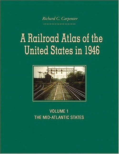
A Railroad Atlas of the United States in 1946 - Volume 1: The Mid-Atlantic States
A Railroad Atlas of the United States in 1946 - Volume 1: The Mid-Atlantic States
Meticulously crafted and rich in detail, these hand-drawn color maps reveal with skilled precision—at a scale of 1 inch to 4 miles (or 1:250,000)—the various main and branch railroad passenger and freight lines that served thousands of American towns. The maps also include such features as long-since-demolished steam locomotive and manual signal tower installations, towns that functioned solely as places where crews changed over, track pans, coaling stations, and other rail-specific sites.
Currently, there exists no comprehensive, historic railroad atlas for the U.S. This volume, with its 202 full-scale and detail maps, is sure to remain the standard reference work for years to come.
Original: $79.00
-65%$79.00
$27.65Product Information
Product Information
Shipping & Returns
Shipping & Returns
Description
Meticulously crafted and rich in detail, these hand-drawn color maps reveal with skilled precision—at a scale of 1 inch to 4 miles (or 1:250,000)—the various main and branch railroad passenger and freight lines that served thousands of American towns. The maps also include such features as long-since-demolished steam locomotive and manual signal tower installations, towns that functioned solely as places where crews changed over, track pans, coaling stations, and other rail-specific sites.
Currently, there exists no comprehensive, historic railroad atlas for the U.S. This volume, with its 202 full-scale and detail maps, is sure to remain the standard reference work for years to come.